Hat Mae Hat
Mae Hat and the Ko Ma setting on Ko Pha-ngan
By Joe Bloggs · Practical references reviewed 22 October 2026.
Home / The Gulf islands / Hat Mae Hat
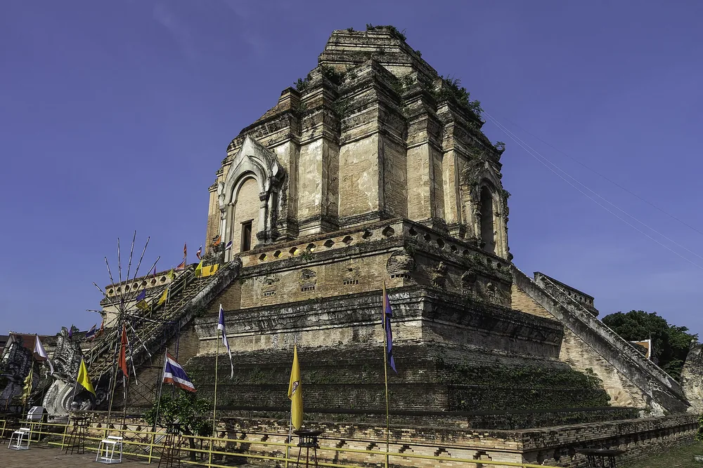
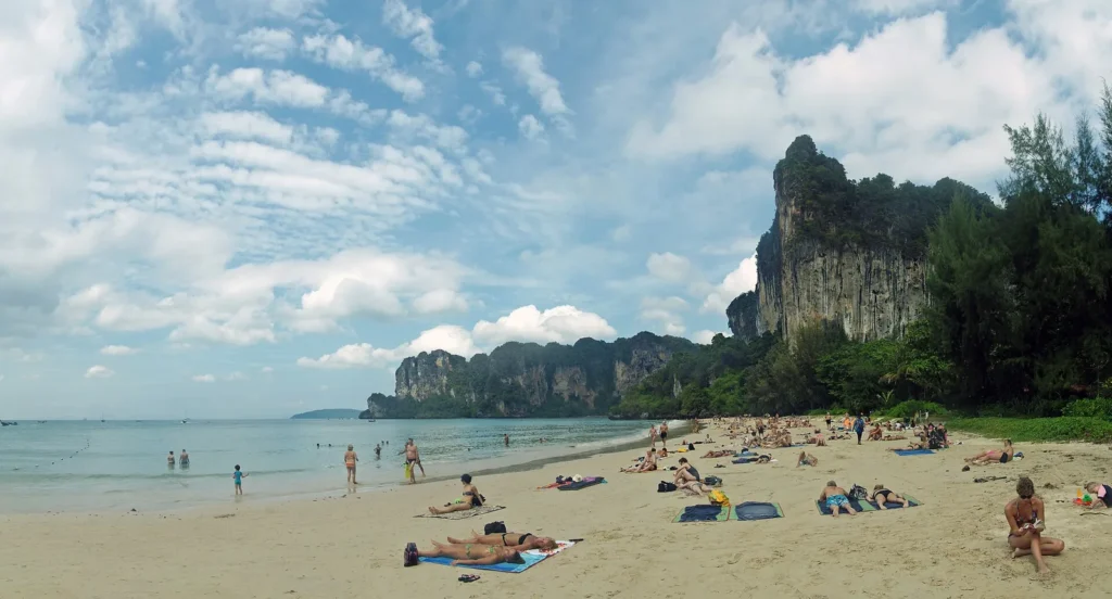
Hero photograph: Rocky tropical coastline at Tanote Bay on Ko Tao. Regional travel context; this photograph does not depict the individual place covered by this guide.
Hat Mae Hat in Ko Pha-ngan
Hat Mae Hat is a beach area in northwestern Ko Pha-ngan associated with the nearby islet of Ko Ma. It should not be confused with Mae Haad, the main arrival area on Ko Tao. Check the island name as well as the beach spelling whenever booking accommodation or transport.
This guide brings together the source-linked background and our practical suggestions for a considered visit. Use it to decide whether the stop fits your interests, then check current arrangements with the venue or local visitor service before travelling.
Hours, tickets and getting there
Opening and access
Outdoor beach access has no single business-style opening window. Our suggested beach visit is in daylight; follow local signs and restrictions.
Admission and extra costs
The linked tourism overview does not quote a general beach admission tariff. Use a public access point and confirm parking, chair rental and activities separately.
How to get there
Arrange a road transfer to Mae Haad near Ko Ma in northwestern Ko Pha-ngan. Specify the island: this is not Mae Haad ferry pier on Ko Tao.
How long to allow
Planning estimate: 2–4 hours, with any sandbar crossing dependent on local conditions. This is our suggested allowance, not an operator requirement.
Source check: 22 October 2026. Published reference prices are identified as such; an unresolved or conflicting detail is not a confirmed current gate price. Suggested timings and route choices are editorial advice.
What to expect at Hat Mae Hat
Treat any sandbar crossing or water activity as dependent on the tide and conditions at the time. Do not assume a path visible in an old photograph is safe or exposed when you arrive. Choose a comfortable stretch of beach and follow local advice before entering the water.
Combine the beach with a gentle northern-island day rather than a rushed circuit. Ban Chalok Lam is a different nearby setting to compare if you want food and a village atmosphere.
Let conditions guide beach time
Check flags, local notices and advice before entering the sea. A calm-looking photograph does not describe the conditions on your date. Keep valuables secure, take your rubbish away and agree any rental or activity price in advance. If the water is unsuitable, choose a walk, a meal or another land-based activity instead.
How long should you allow?
Planning estimate: 2–4 hours, with any sandbar crossing dependent on local conditions. This is our suggested allowance, not an operator requirement.
Plan your Hat Mae Hat visit
Start with The Gulf islands to place this visit within a wider route. Choose a base that suits the journey rather than adding a distant stop simply because it is well known.
Related guides: Ban Chalok Lam · Ao Thong Nai Pan · Thong Sala.
Sources and current visitor information
Background checked against image.mfa.go.th — Hat Mae Hat reference. Reviewed 20 October 2026. Route ideas and pacing suggestions are bloggsandco editorial advice. Opening times, prices and access can change; check the current visitor information before travelling.
Keep exploring Thailand with bloggsandco
Request our latest trip ideas and newsletter updates by email. Tell us which regions or interests you would like to hear about; we currently handle newsletter requests personally by email.
Make room for your next Thailand chapter
Discover colourful places, choose a manageable route and save the stops you want to make.
Before you go: check Tourism Authority of Thailand for official visitor information.
Keep exploring Thailand
Choose your next stop. Tap an image to open the full bloggsandco guide.